crash2
-Oh no I picked a side-
Yeah I heard about all that. I'm curious about the trail from the road to the sandhills.
You mean the one that leaves the second pit, up along the rock garden, out along the entrance of AA and cable?
Yeah I heard about all that. I'm curious about the trail from the road to the sandhills.
Yah.....I;m confused too.
We need a some map showing what "crossing" "stream" "road" "rocks" are being talked about. Anyone care to draw one up real quick?
:corn:
Let me get this strait :scratchhead:
You can drive a motorhome through the same creek 50 feet from where you cannot drive a wheeler through it?
Yah.....I;m confused too.
We need a some map showing what "crossing" "stream" "road" "rocks" are being talked about. Anyone care to draw one up real quick?
:corn:
I believe fish and wildlife are trying to eliminate sediment in the streams the creek crossing at the road in is more of a solid bottom I guess.
Think of the ditches on the side of the road that are marked salmon spawning streams same deal:masturbanana[1]:
You mean the one that leaves the second pit, up along the rock garden, out along the entrance of AA and cable?
I bet if you got off your butt
Looked in here
http://www.nw-wheelers.com/forum/showthread.php?t=42355
You might answer your own qustions :awesomework:
Pretty much. remember Fish/Wildlife trumps the DNR...
Oh I know theres nothing funnier than seeing a sign claiming salmon spawning stream next to a ditch thats never gonna have A fish let alone a salmon running through it
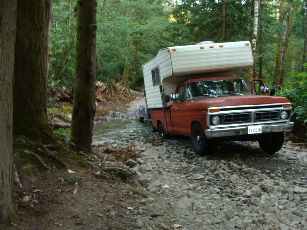
the new way to get to the sandhills from the gravel road off of reiter road
takes you exactly 15 more seconds if you take your time. When you get out there you will see it. Where the road is reworked thru the stream on the way to the second pit/whore nest--15 feet before the creek crossing you will see where 1/2" gravel was dumped to the right--thats where you shoot thru the trees to the powerlines. Its basicaly directly across from the closed off camp spot that was next to the creek...
Yeah I have not been there since it was done. The only reason I was asking is because i could see people in not so capable rigs destroying the trail in. That and we see alot of people that come up there in stock rigs that just like to go up and play on the sand hills to "test out" there new trail rated rig
Its not any harder to get into the powerlines....
So you're saying my Yota won't make it?:redneck:
I'm glad this is all happening. Seriously.
Water crossings must be limited. "Wet" trails must be re-routed to limit any further damage. Period.


Actually yes you can....have someone in F & W "shock" the stream (basically send an electrical charge into the water to see what kind of fish habitat there is...basically prove the salmon are there!!!Ok, I got ya now--that one went over my head.
Ya, and whats sad they can use that against us so easily. And what can we do--nothing....
I think alot of folks are missing the obvious.
The creeks in question are not salmon habbitat. There is no salmon in those creeks.
Those creeks do however run into larger streams and rivers that ARE salmon habbitat. The silt and sediment caused by wheelin flows into the fishless creeks and then into the fish bearing streams and rivers untill the silt and sediment falls out of the flow in the slower moving areas. This in turn covers the nice gravel beds that the fish spawn and lay their eggs in.
You guys are going to have to do WAY more than just dump some gravel down. The F&G have a state salmon hatchery right down the road too. F&G is not going to be happy in the long run untill theres bridges and no creek disturbance.
Good effort.:awesomework:
