zuk88
Well-Known Member
I always miss the good stuff :booo:Nope we were at doing all good. Beer on tap and big boobies serving it:haha:
I always miss the good stuff :booo:Nope we were at doing all good. Beer on tap and big boobies serving it:haha:
What's going on this weekend.
a couple of the W.H.O.R.E members will be at yer disposal charlie..a big THANKS again for the hard work and taking of alot of grief that comes with this mess..
 And yes, thanks Charlie for your endless pursuit of being able to wheel the New Reiter...
a couple of the W.H.O.R.E members will be at yer disposal charlie..a big THANKS again for the hard work and taking of alot of grief that comes with this mess..
What's going on this weekend.
Saturday works best for me i have tickets to the Seahawks game on Sunday.
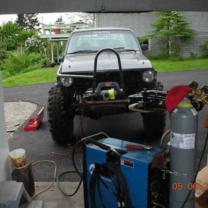
well another 4000 feet of trail out of the way! :cheer:
well another 4000 feet of trail out of the way! :cheer:
Time well spent.
Any one intrested in tomorrow
I'm racing at Staddleline tomorrow.
So here we go again, one more weekend of statining the trails, Thought I was going to get the errkend off but well //////////// let's get it done
Saturday and Sunday are open at this time so it is up to who ever pipes up to what day it will be
Hi All:
Rick, "stationing" is when we follow trail markers and take down detailed data.
The trail course is broken down into sub-sections consisting of the distance between each corner. We record the distance between the corners, as well as the grade and compass direction.
With a team of 3 or 4 people we can cover ground pretty quickly.
This data can then be fed into an autocad program to develop a virtual model of the proposed 4wd trails.
Regards,
Alan
OK thanks. I did some of this last weekend but I called it mapping. I thought maybe stationing was something different.:beer: